Explore Napa County’s Protected Lands
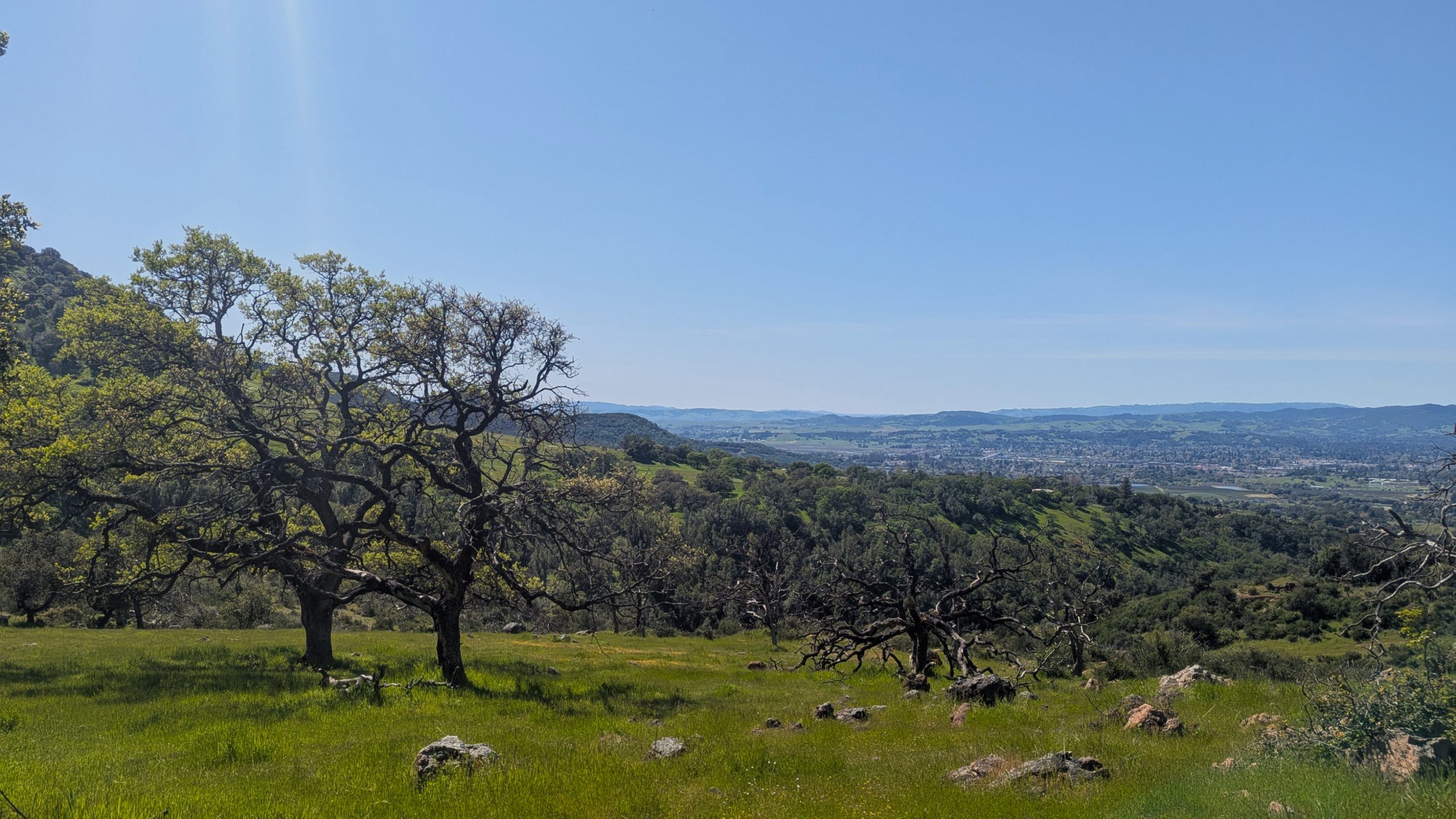
At the Land Trust of Napa County, our work is rooted in protecting the lands, waters and natural resources that make Napa a special place to live, work, and visit. Our interactive map is a powerful way to visualize the impact of this work, showcasing the areas we’ve helped protect through conservation easements, land acquisitions, and land stewardship efforts.
What is GIS and Why Do We Use It?
Our map is powered by GIS (Geographic Information Systems), a cutting-edge technology that allows us to analyze and visualize data about the lands we protect. GIS helps us make informed decisions by layering information like wildlife habitats, water resources, and land use patterns. This ensures our conservation efforts have the greatest impact, preserving Napa County’s natural beauty and biodiversity for generations to come.
How to Use the Map:
- Click the named, highlighted areas to learn more about the lands we protect.
- Discover additional details about our Permanent Preserve Network.
- See how these protected lands connect to form a thriving network of conservation across Napa County.
Your Support Makes This Possible
Every acre we protect is thanks to the generosity of supporters like you. Explore the map to see the difference your contributions make, and join us in preserving Napa County’s natural treasures.

