Photos and Post by Lena Septimo, Lands Project Manager
When the Land Trust begins work to acquire new easements or preserves, it’s a unique opportunity for staff to partner with other scientists to collect relevant data. We want to document what’s on the ground for all projects, whether agricultural, natural or scenic in nature.
This documentation includes everything from human use to plants, soils, birds, mammals and more. While working with our partners in science, this also means that staff gets to be a different “–ologist” for the day: a geologist studying rocky substrates for mineral or gas potential; a herpetologist looking for rare or threatened reptile or amphibian species; a range biologist calculating grazing carrying capacity; or a botanist tallying up the quantity of native plant species within a property’s boundary.
In all aspects of our values assessment, science plays a significant role by providing a baseline. The baseline becomes a starting point from which comparisons can be made as years go by to inform future management of each property, and ensure its protection across all conservation values forever.

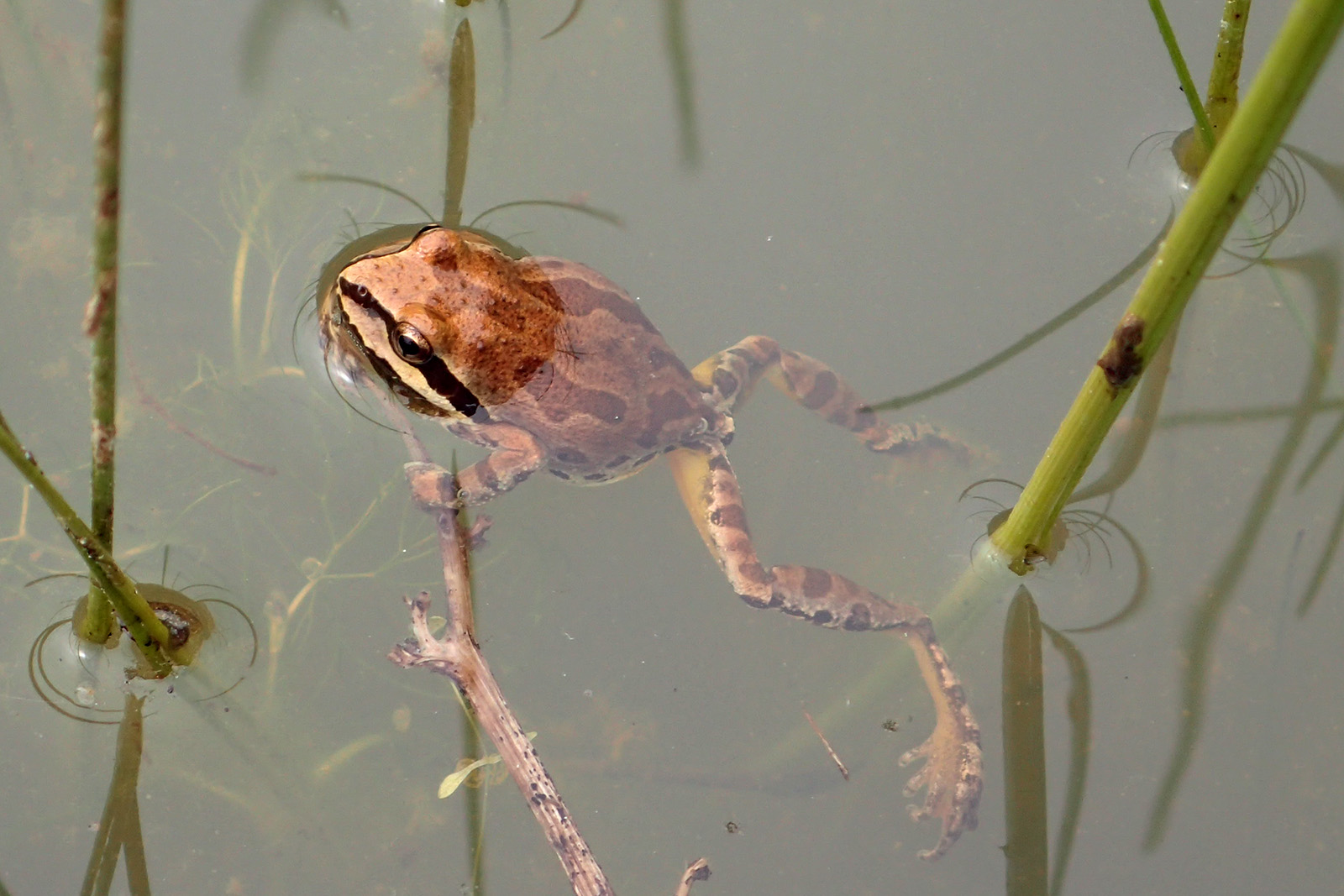
Sierran Treefrog found during a recent herpetology survey.

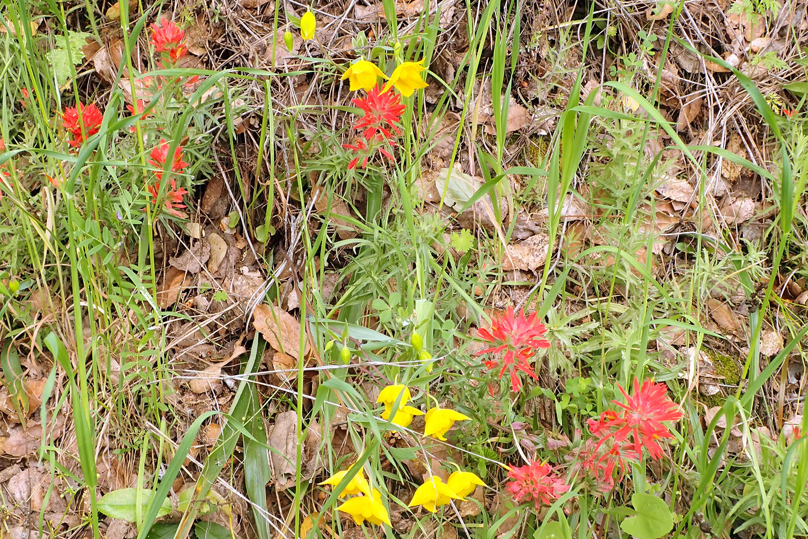
Indian paintbrush (Castilleja spp.) and Diogenes lanterns (Calochortus amabilis) found during a recent baseline assessment.

Unknown butterfly found during a recent baseline assessment.

Blue oak sapling (Quercus douglasii) found during a recent baseline assessment.

California newts (Taricha tarosa) and Sierran treefrogs (Psuedacris sierra) found during a recent herpetology survey.

